Daily OSM Tip: Street Level Images
Hi and thanks for reading another Daily OSM Tip! This newsletter is currently an experiment. I rely on your feedback to make it better. Please send comments my way at martijn@osm.today!
You can visit almost anywhere in the world virtually using Google Street View. There's also tons of useful information on the Street View images that could be used for mapping. But you can't use it, Google's terms forbid it.
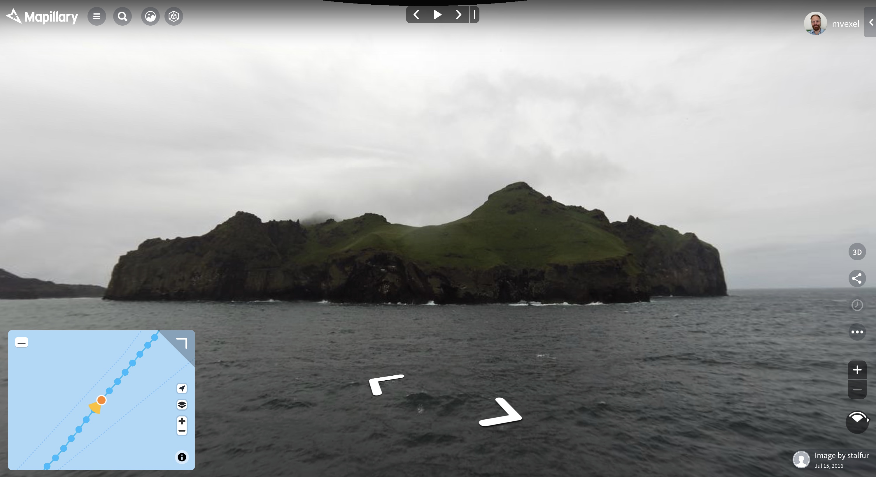
Fortunately there's alternatives that you can use for mapping: Mapillary and KartaView. Their images cover millions of km of road...
|
... and other travels! (Image sourced from Mapillary)
The best part is that both platforms work just like OSM: everything is contributed by people like you and me. You can download Mapillary and Kartaview apps and start capturing photos today.
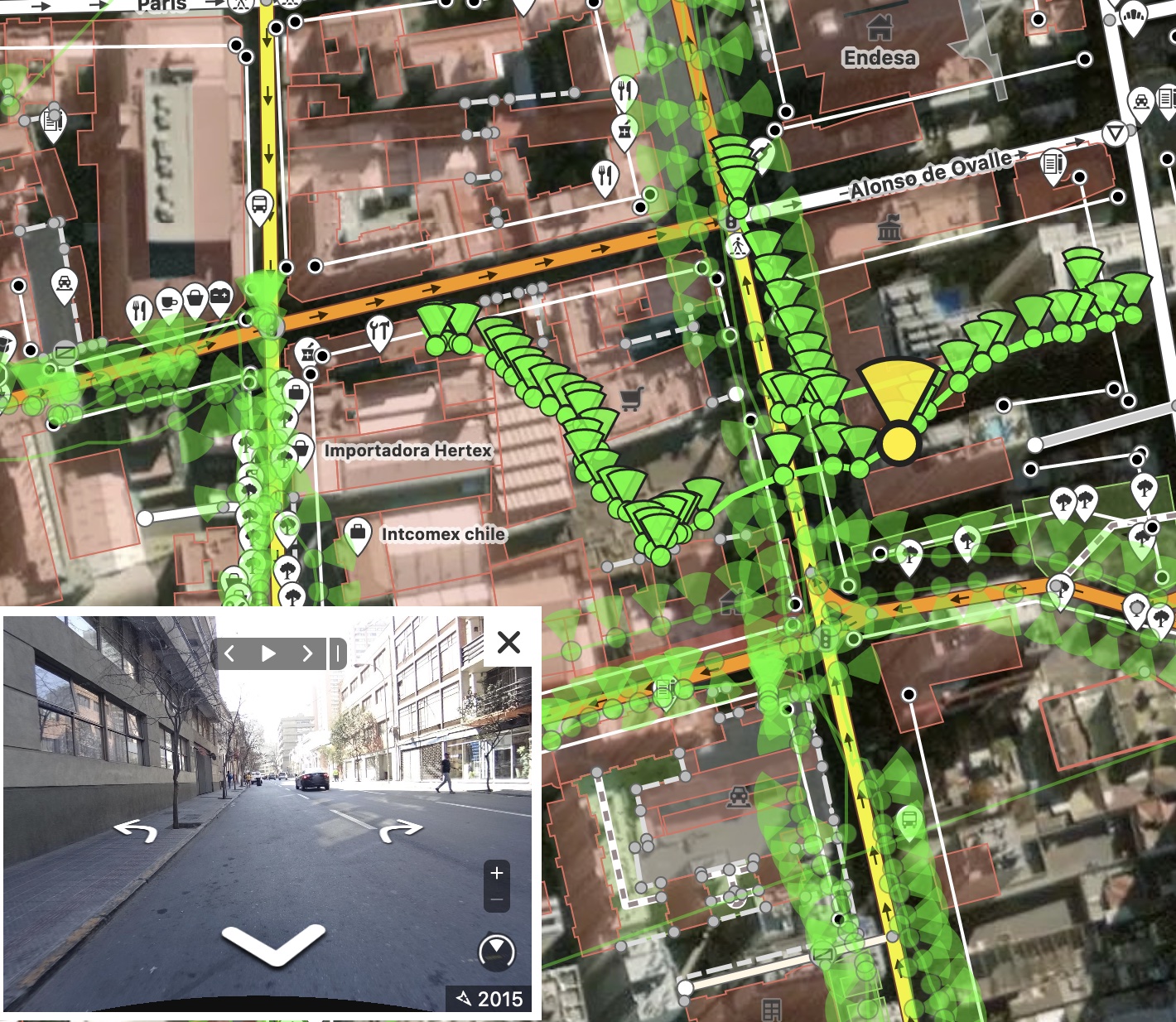
In OSM editor software, you can enable the images easily to help with mapping.
|
I love these street view image apps. I will write more tips about them in the future.
Happy Mapping!
Martijn